Boundary survey
Property lines, corners and easements located and marked.
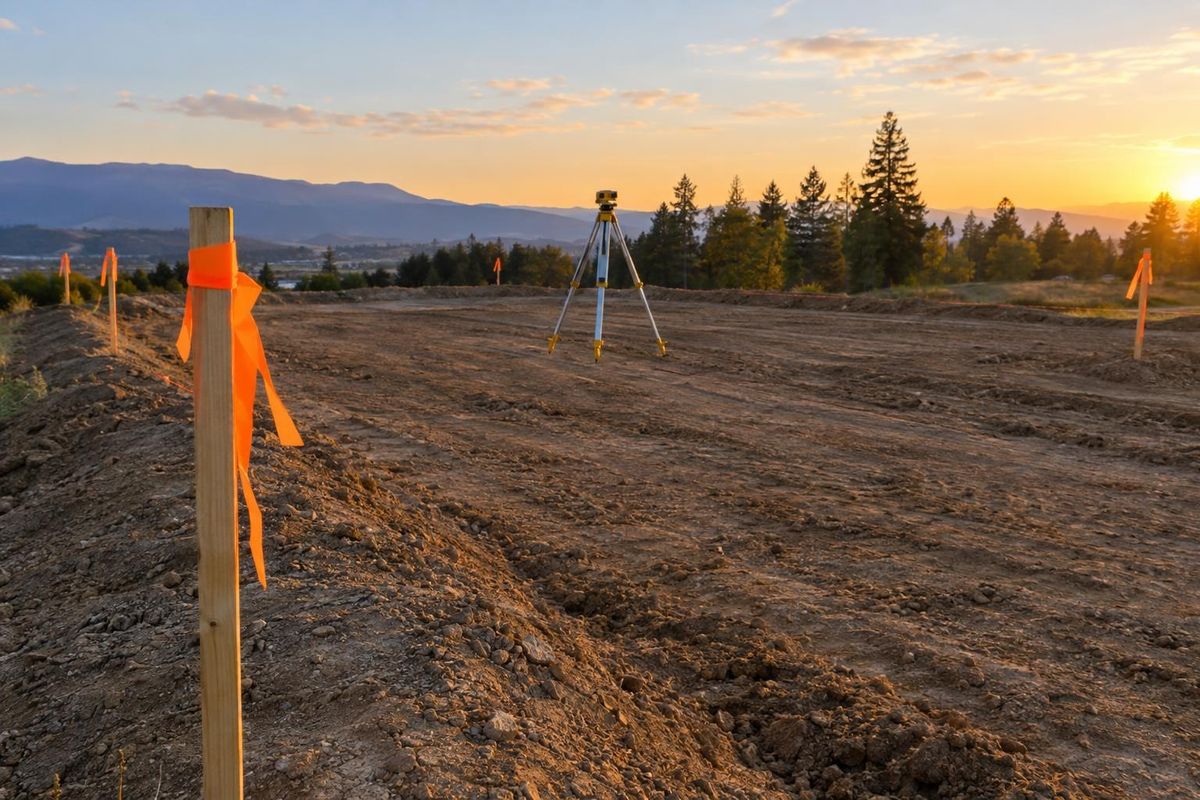
Land Acquisition & Feasibility
Accurate boundaries, elevations and soil information are the base of every good plan. We bring the right professionals in early and keep the data organized.
Call or text today615-431-3789Survey & Geotechnical Coordination
A boundary survey says where the property starts and stops. A topographic survey shows how the ground rises and falls. Soil borings show what the ground can support. Together, they decide where roads, lots and buildings can go.
We coordinate surveys and geotechnical work for residential sites across Nashville and Middle Tennessee, bringing in qualified surveyors and geotechnical engineers and keeping their findings tied to the plan. Good data early means fewer redesigns later.
What you get
Property lines, corners and easements located and marked.
Contours and features mapped for grading and drainage design.
Samples and testing to understand bearing and rock.
Results organized for engineers, architects and the build team.
The process
We decide what each site needs and who should do it.
Crews stake, measure and sample the property.
Results shape the layout, grading plan and foundation approach.
FAQ
Soil and rock decide foundation type, grading and utility trenching, which affect the whole plan.
Sometimes, but old surveys are often outdated. We check and update where needed.
Qualified surveyors and geotechnical firms do the work. We coordinate and keep it tied to the plan.
Related services
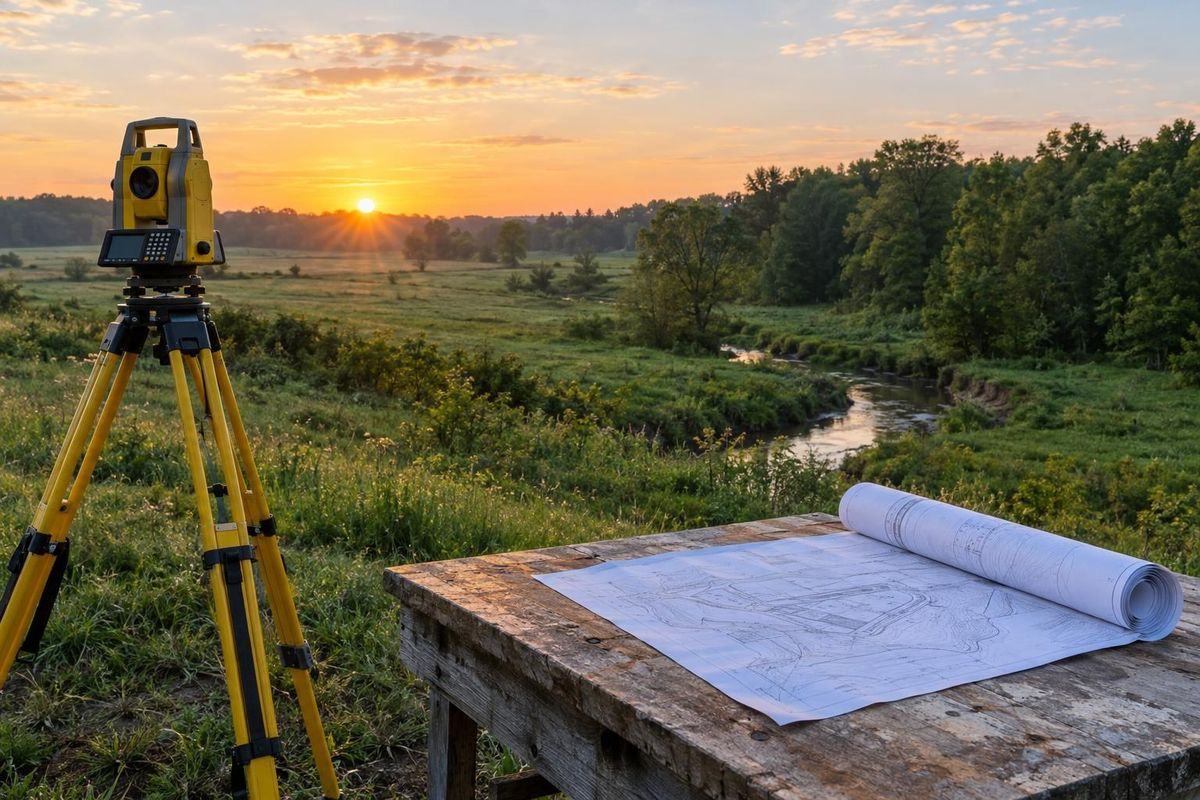 Feasibility StudiesEarly studies of what a parcel can hold, what it will take and what could stand in the way.Learn more
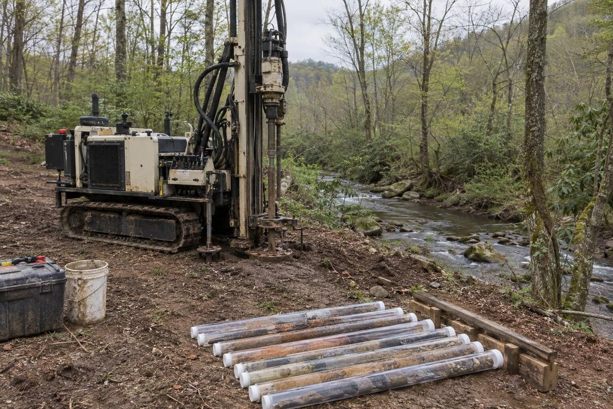 Environmental AssessmentsCoordinating environmental reviews, wetlands and stream checks and soil concerns before development.Learn more
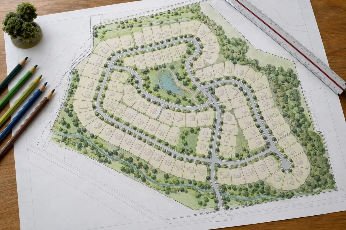 Site PlanningLaying out streets, lots, open space and utilities for homes, townhomes or whole communities.Learn more
Service areas
From Clarksville to Shelbyville and Dickson to Cookeville, pick your city to see the land, development and home building work we handle in your part of Middle Tennessee.
Not on the list? Call 615-431-3789. We take projects across Middle Tennessee.
Call, text or send the form. Tell us about the property, what you hope to build and when you hope to start, and we will take it from there.